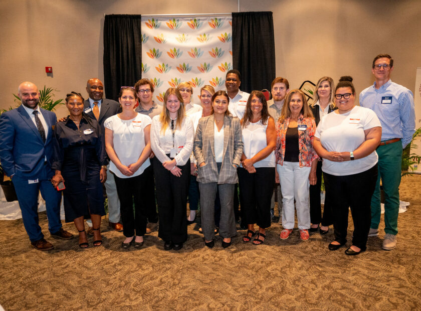
Statesville Thrives: Leading a Prosperous Community Conversation on Housing
The U.S. Department of Housing and Urban Development’s Housing Affordability Strategy data...
The U.S. Department of Housing and Urban Development’s Housing Affordability Strategy data...

Local government staff across the Centralina region and beyond have more on their plates...
Land use planning provides an opportunity to integrate land use practices with other local...
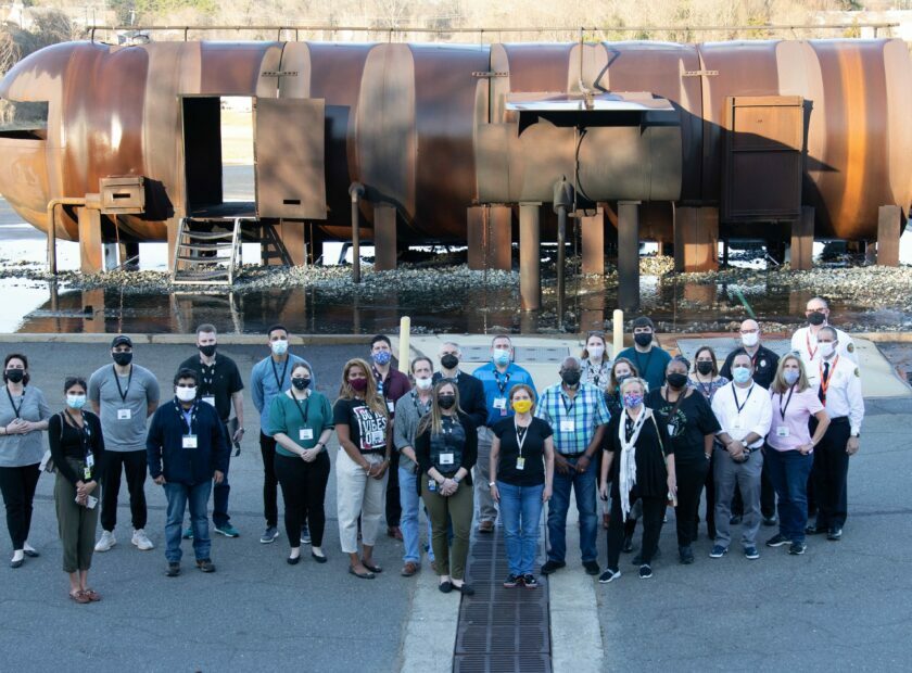
On March 31, 2002, the Charlotte Douglas International Airport (CLT) Aviation Academy...

A community that is pedestrian friendly benefits everyone. And when sidewalks, crosswalks...

Chapter 160D of the North Carolina General Statutes represents the first major...

Every ten years, the General Assembly requires local governments that elect governing board...