Linking Transit and Land Use at the Community Level
August 27, 2024
Accommodating growth, growing economic competitiveness and achieving goals of sustainability and equity are reliant upon our ability to create livable communities that support a variety of mobility options. Mobility-friendly land use and development patterns need clear intent through land use plans and development codes, both of which occur at the local level. Many communities understand the importance of integrating transit and land use and the impact it can make on a community but need on-the-ground practices and tools that can be integrated into the local development process.
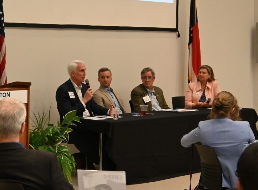
Centralina Regional Council, in partnership with Charlotte Regional Transportation Planning Organization (CRTPO), organized a series of training workshops to create a better understanding of mobility-friendly development practices and how they can be implemented locally. More than 50 land use planners, transportation staff, NC Department of Transportation staff and others from across the CRTPO planning area attended the training series. Sessions provided foundational information for integrating land use and transit planning at different community scales (urban, suburban and rural) and included specific examples from peer communities. Session topics included form-based codes, emerging transit trends, parking management, multi-modal planning and understanding the connection between health, mobility and land use.
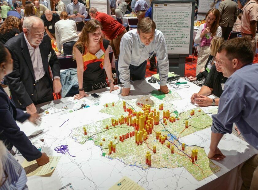
The sessions ended in June with a walking tour of uptown Charlotte where participants were able to see real-world applications of the skills and techniques discussed during the workshops. This included ways to successfully integrate transit and land use, as well as ways to incorporate pedestrian and cyclist infrastructure.
Mobility-friendly development recognizes that land use patterns, mix of uses and density play a critical role in the current and future accessibility of a place. These trainings gave attendees an opportunity to take a deep dive into practical, proactive steps towards integrating mobility and land use through tools, resources, peer learning and best practices that will benefit their communities and help to connect the region.